
Location
Latitude · Longitude · Date and time (UTC)
Explore an interactive star map for any location and date. Find stars, constellations and planets, animate the sky and export a custom star chart.
Open Interactive Star Map →Latitude · Longitude · Date and time (UTC)
Drag to look around; pinch or scroll to zoom. Keyboard: arrows move, +/− zoom, Home resets.
2400 × 2800 · PNG · Title · Caption
Use Manlin to reflect, plan and take your next step.

Inputs use UTC. The additional time display uses your selected time zone.
Shows geometric positions, including stars in daylight. Weather, light pollution, terrain, refraction and stellar proper motion are not modeled. 1900–2100; markers are not to scale.
Calculations run in your browser after the page loads. No account or paid API is required.
The sharing link includes the coordinates, date and your text. Copy it only if you want to share these details.
 EV Charging CalculatorEV Charging Calculator · Estimated charging time · Electricity consumed · Trip cost
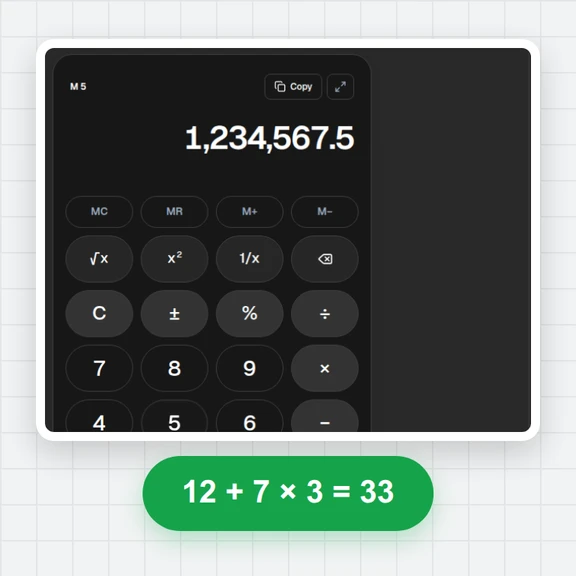
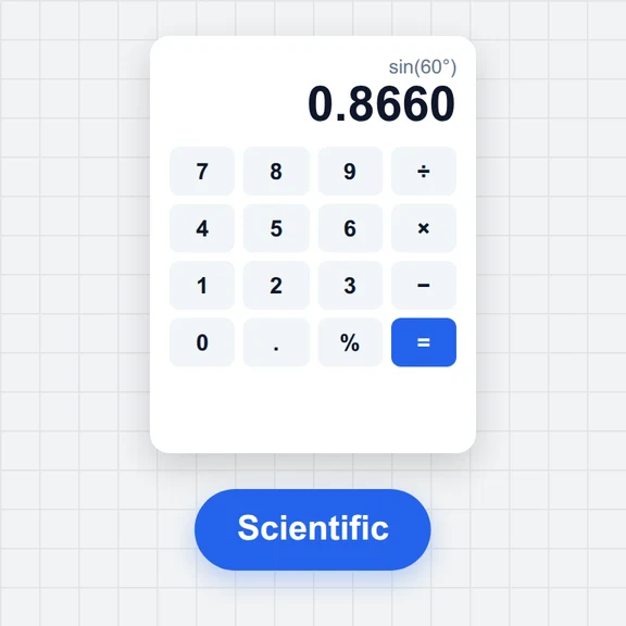 Tire & Wheel Size CalculatorCompare tire sizes and wheel offset with diagrams, diameter, sidewall, rim shifts and theoretical speed changes. Free and local.Fuel Cost & Consumption CalculatorCalculate trip fuel cost or measured fuel consumption. Convert L/100km, km/L and US or imperial MPG. Free, local, with report downloads.Online CalculatorFree online calculator with big keys, a paper-style tape, memory keys, percent, square root and full keyboard support. Copy any result. Free, no sign-up.Scientific CalculatorFree online scientific calculator: trig in degrees or radians, logs, powers, roots, factorials, nCr, memory and history. Type with your keyboard. Exact decimals.
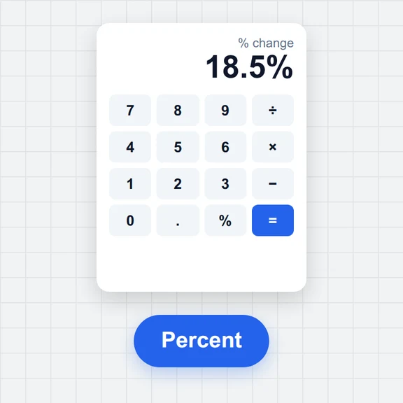 Percentage CalculatorFree percentage calculator: X% of Y, what percent X is of Y, percentage change, increase or decrease by a percent, and percentage difference. Live answers with the working.